
Hiking tour through the Barnim Nature Park
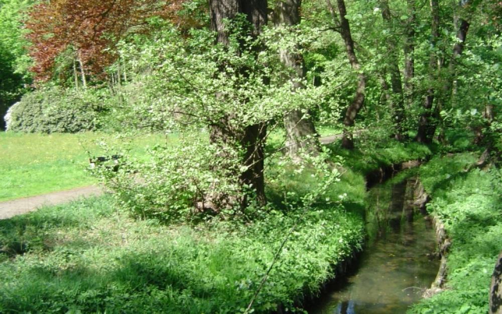
Description:
The 53-kilometre hiking trail leads out of Bernau along the Berlin-Usedom cycle path. In parts, however, the route deviates from the cycle path to allow hikers to complete stages without cyclists.
Length: 53 km, 2-3 days
Start/finish: Bernau bei Berlin, Joachimsthal
Marking of the trail
Red bar on white background
Places of interest along the route
- Bernau: Medieval town centre, ramparts, local history museum
- Jáchymov: Kaiserbahnhof, Schinkel Church
Map recommendations: Barnim Nature Park, Top. Freizeitkarte, 1:50.000, Landesvermessung und Geobasisinformation Brandenburg, ISBN 978-3-7490-4092-6, 2010, € 6,00
Location map
You must allow cookies in the "Personalisation" category to see the location map embedded here.
Edit cookies now
Contact
Hiking tour through the Barnim Nature Park
WITO Wirtschafts- und Tourismusentwicklungsgesellschaft mbH
Alfred-Nobel-Straße 1
16225 Eberswalde
03334-59100
03334-59222
All information, times and prices are checked and updated regularly. Nevertheless, we cannot guarantee the accuracy of the data. We recommend that you enquire about the current status by telephone / e-mail or via the provider's website before your visit.